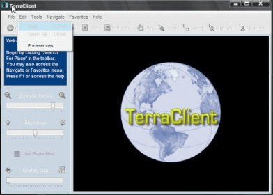
TerraClient allows viewing and printing of ground level satellite photographs of the United States. Featured is a unique map overlay option that automatically superimposes a "paper" roadmap over the satellite photos. This map overlay option has been designed to help users identify indistinct land features in the satellite photos. All map and photographic data is downloaded in real time from Microsoft’s free TerraServer web service. This program is freeware.
Comments